How Do Oceans Affect World Weather
In this post
- The ocean as Earth’s giant heat battery
- Evaporation: where rain really comes from
- Ocean currents: rivers of warm and cold water
- Winds, pressure, and the dance between sea and sky
- El Nino, La Nina, and years when weather goes strange
- Storms born at sea: hurricanes, cyclones, and monsoons
- A warming ocean and a changing weather map
- How forecasters use ocean data every day
- My Take:
If you have ever wondered why a coastal city stays mild in winter while an inland city at the same latitude freezes, or why some years bring floods to one continent and drought to another, the answer usually starts in the ocean. The world’s seas cover about 71 percent of Earth’s surface, and they hold far more heat than the atmosphere. They breathe moisture into the air, steer winds, feed storms, and move warmth from the equator toward the poles. Weather is often described as what happens in the sky, but much of it is decided below, in water.
This guide explains how oceans affect world weather, from the daily sea breeze on a beach to planet-wide patterns that can reshape rainfall for months. The science is large, but the core ideas are simple: water stores heat slowly and releases it slowly, warm water feeds the air above it, and moving water carries that influence across entire oceans.
The ocean as Earth’s giant heat battery
Water has a remarkable property: it can absorb a great deal of heat without warming up very much, and it gives that heat back slowly. Land, by contrast, heats up quickly in sunshine and cools quickly at night. That single difference explains many weather contrasts. A coastal town warmed by a nearby sea will have smaller temperature swings between day and night, and between summer and winter, than a town far inland. The sea acts as a buffer, smoothing out extremes.
The ocean does more than sit still and store heat. Its top layer absorbs sunlight, and winds mix that warmth downward. Over seasons, the ocean soaks up summer heat and releases it in winter, which is why coastal winters are often milder than expected. This effect is strongest where warm currents flow past a coast, bringing tropical warmth to higher latitudes. Western Europe, for example, is far warmer in winter than other places at similar latitudes, largely because of warm water carried northward across the Atlantic. Without the ocean’s heat transport, those winters would be much harsher.
Heat stored in the ocean also has a long memory. A patch of unusually warm or cool surface water can persist for months and keep influencing the air above it long after the weather system that created it has gone. Forecasters therefore watch sea surface temperatures closely: they are one of the best clues to what the atmosphere will do next, because the ocean changes slowly while the air above it changes fast.
Evaporation: where rain really comes from
Almost every raindrop that falls on land began its journey as water evaporating from an ocean, a sea, or a large lake. Sunlight warms the surface, water molecules escape into the air as invisible vapour, and winds carry that moist air away. When the air rises and cools, the vapour condenses into cloud droplets and eventually falls as rain or snow. Without ocean evaporation, the world’s water cycle would slow to a trickle, and most land would be far drier.
Warm oceans evaporate more water than cold ones, which is why tropical seas feed some of the heaviest rainfall on Earth. The warm waters of the western Pacific and the Indian Ocean, for example, supply moisture for monsoon rains that water crops for hundreds of millions of people. Cooler oceans evaporate less, and air passing over cold water often becomes stable and dry, which can suppress rainfall downwind. That is one reason some coastal deserts exist right beside the sea: the nearby water is cold, so the air above it holds little moisture and rarely rises to form rain clouds.
Humidity is another ocean gift. Air that has travelled over a warm sea arrives at a coast moist and heavy, making summer days feel muggy and increasing the chance of thunderstorms when that air is lifted by hills, a front, or daytime heating. In winter, the same moist air can bring persistent drizzle and fog. In short, the ocean does not just influence whether it rains; it supplies the raw material for rain itself.
Ocean currents: rivers of warm and cold water
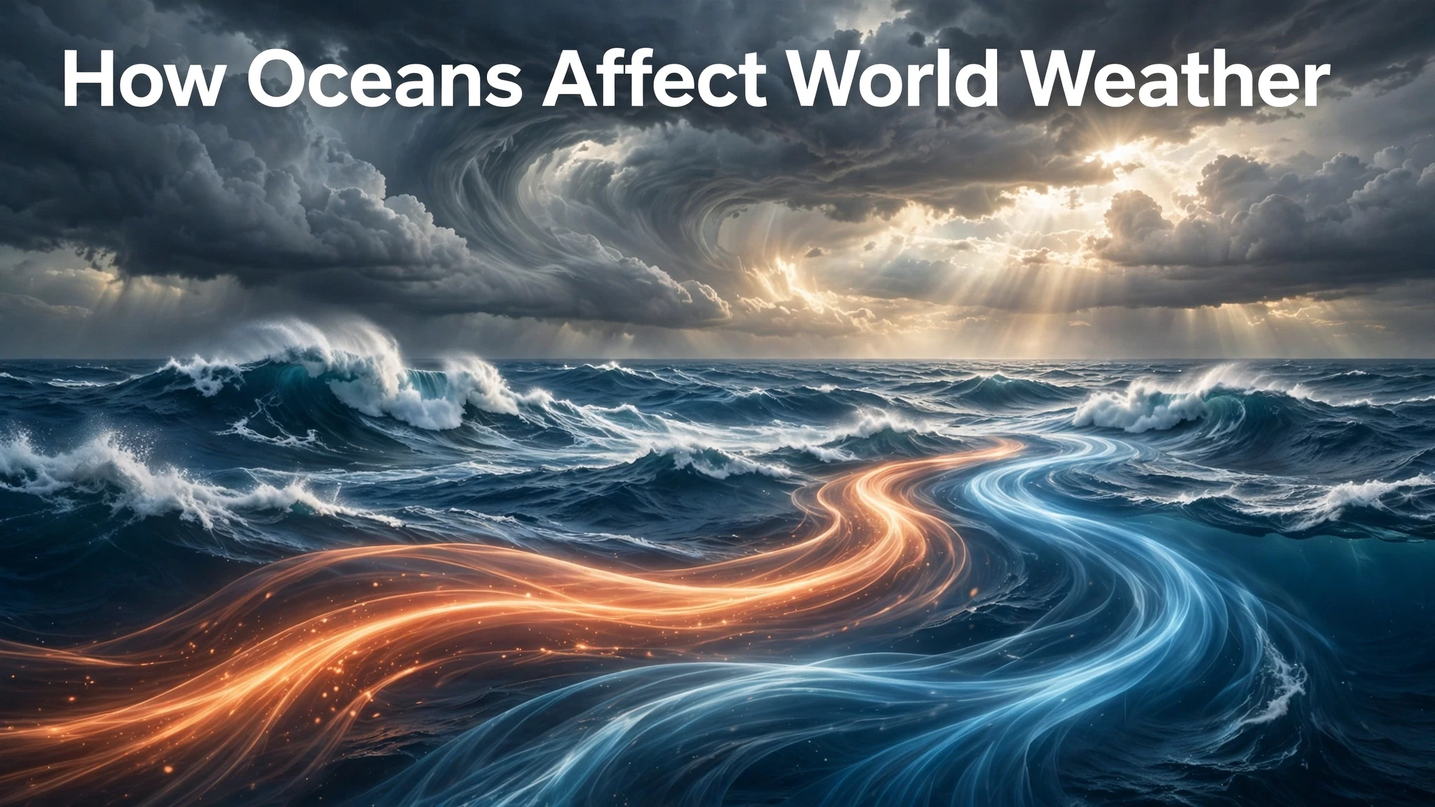
Ocean currents are like slow rivers flowing through the sea, driven mainly by winds and by differences in water density. Warm surface currents carry tropical heat toward the poles, while cold currents return cooler water toward the equator. These currents redraw the climate map: coasts beside warm currents tend to be warmer and wetter, while coasts beside cold currents tend to be cooler and drier.
The Gulf Stream system in the Atlantic is the best-known example. It carries warm water from the Gulf of Mexico up the eastern coast of North America and then across toward Europe. Cities along its path enjoy milder winters than their latitude alone would suggest. On the opposite side of the world, the cold Humboldt Current flows north along western South America, cooling the coast and helping to keep parts of Peru and Chile extremely dry, even though they sit beside the Pacific.
Currents also affect fisheries and fog. Where warm and cold currents meet, the contrast can create rich fishing grounds and frequent sea fog, as warm moist air cools over cold water. Where a current shifts position or weakens, local weather can change noticeably: a weaker warm current may mean a colder winter for a coastal region, while a stronger one may bring extra rain. Currents move slowly compared with winds, but over months and years their influence is enormous, because they move heat on a planetary scale.
Winds, pressure, and the dance between sea and sky
Oceans and the atmosphere constantly push each other around. Winds drag on the sea surface and drive surface currents, while the temperature of the sea shapes air pressure above it. Warm water heats the air, causing it to rise and creating lower pressure; cold water cools the air, making it denser and creating higher pressure. Air flows from high to low pressure, which is what we feel as wind, so sea temperatures help set the pattern of winds around the world.
This interaction creates the great wind belts: trade winds near the equator, westerlies in mid-latitudes, and polar winds near the poles. Those winds, in turn, shape where deserts, rainforests, and storm tracks sit. A shift in ocean temperature can nudge a wind belt or a storm track, bringing rain to a region that is usually dry or leaving a normally wet region short of water. That is why meteorologists treat the ocean and atmosphere as one coupled system, not two separate ones: change one, and the other responds.
Sea breezes are a small, daily version of the same process. On a sunny day, land warms faster than the sea, air over land rises, and cooler air from over the water flows in to replace it: the refreshing sea breeze. At night, the land cools faster, the pattern reverses, and a land breeze blows out to sea. Fishers, sailors, and coastal residents have used these rhythms for centuries, often without knowing the physics behind them.
El Nino, La Nina, and years when weather goes strange
Sometimes the ocean-atmosphere system swings into a pattern that lasts for months and affects weather across the globe. The most famous is the El Nino-Southern Oscillation in the tropical Pacific. In normal years, strong trade winds push warm surface water westward toward Indonesia and Australia, while cooler water wells up off South America. During El Nino, those winds weaken, warm water spreads eastward across the Pacific, and rainfall patterns shift: some regions that are usually wet become dry, while some usually dry regions receive heavy rain.
La Nina is roughly the opposite: trade winds strengthen, the western Pacific becomes even warmer, the eastern Pacific becomes cooler, and rainfall patterns shift the other way. These are not local events. Because the tropical Pacific is so large, its temperature changes ripple through the atmosphere, altering jet streams and storm tracks far away, including over North America, Asia, Africa, and Australia. A strong El Nino or La Nina year can therefore bring floods in one continent, drought in another, and an unusual hurricane or cyclone season somewhere else, all linked to the same ocean change.
Other oceans have their own long-lived patterns, such as variations in the Indian Ocean and the Atlantic, which also influence monsoons and rainfall. The details differ, but the principle is the same: when a large area of sea surface stays warmer or cooler than usual for months, the atmosphere above it adjusts, and weather downwind adjusts with it. This is why seasonal forecasts now rely so heavily on ocean observations from satellites, buoys, and ships.
Storms born at sea: hurricanes, cyclones, and monsoons
The most dramatic weather the ocean creates is the tropical cyclone, called a hurricane in the Atlantic and Caribbean, a typhoon in the northwest Pacific, and a cyclone in the Indian Ocean and South Pacific. These storms need warm ocean water, usually above about 26 to 27 degrees Celsius, to form and strengthen. Warm, moist air rises from the sea, condenses into towering clouds, and releases heat, which powers the storm further. As long as the storm stays over warm water with little wind shear to tear it apart, it can grow into a vast, spinning system hundreds of kilometres wide.
When such a storm reaches land, it brings destructive winds, storm surge, and often catastrophic rainfall, because it carries with it an enormous load of ocean moisture. Warmer seas do not automatically create more storms, and scientists are careful about that claim, but warmer water can provide more energy and moisture for storms that do form, and it can help them intensify faster. That is a key reason coastal communities watch sea temperatures during storm season as closely as they watch the forecast track.
Monsoons are a gentler but equally ocean-driven system. In South and East Asia, the seasonal reversal of winds brings moist air from the ocean over land in summer, producing months of rain, then dry air from land over the ocean in winter. The timing, strength, and reach of the monsoon depend heavily on ocean temperatures in the Indian and Pacific Oceans. A small shift in those temperatures can mean the difference between a good harvest and a failed one for millions of farming families, which shows how directly ocean weather connects to daily life.
A warming ocean and a changing weather map
Human-caused climate change is warming the oceans, and that warming is already changing weather patterns in measurable ways. Warmer seas evaporate more water, so the air can hold more moisture, which can make heavy rainfall events heavier when they occur. At the same time, some regions are experiencing longer dry spells, because warming also shifts wind patterns and storm tracks, moving rain belts away from places that once relied on them. Both wetter wet spells and drier dry spells can happen in a warming world, in different places and seasons.
Sea level rise, driven largely by warming water expanding and by melting land ice, adds to coastal weather risks. A storm surge that once flooded only low-lying land can now reach further inland, because the starting sea level is higher. Warmer oceans may also affect currents over longer timescales: if the circulation that carries warm water northward in the Atlantic weakens, parts of Europe could face cooler winters even as the planet warms overall, although the size and timing of such a change remain uncertain and are actively studied.
None of this means that every storm or drought is caused by ocean warming alone. Weather always has many causes, and natural variability remains large. But the direction is clear: because the ocean stores most of the extra heat trapped by greenhouse gases, and because it supplies the moisture and energy for so much weather, a warmer ocean means a more energetic and, in many places, more extreme weather system. Understanding the ocean is therefore not just academic; it is central to preparing for floods, droughts, heat, and storms.
How forecasters use ocean data every day
Modern weather forecasting would be far weaker without ocean observations. Satellites measure sea surface temperature across the whole planet, including remote regions where no ship ever goes, and they track ocean colour, sea level, and surface winds. Floating buoys, some drifting freely and some anchored in place, measure temperature at different depths, salinity, and wave height, and send their readings back by satellite. Ships, coastal stations, and underwater gliders add more detail, and all of this data is fed into computer models that simulate the coupled ocean and atmosphere together.
This matters because the ocean remembers. An atmospheric weather system may last a week, but a warm patch of ocean can influence the air above it for a season. When forecasters see a developing El Nino, a warm blob in the North Pacific, or an unusually warm Atlantic, they can warn months ahead that rainfall, hurricane activity, or winter temperatures are more likely to shift in a particular direction. Farmers can choose crops and planting dates with that information, water managers can plan reservoir releases, and emergency services can prepare for flood or drought risk before the first cloud appears.
There are still limits. The deep ocean is sampled far less densely than the surface, small-scale features such as eddies can be missed, and models must simplify complex processes such as cloud formation and mixing. A seasonal outlook is therefore a statement of odds, not a promise. But the progress is real: the same ocean data that helps a five-day forecast also helps a five-month outlook, and both are far better than they were a generation ago. For anyone whose livelihood depends on rain, that steady improvement is one of the quiet success stories of modern science.
My Take:
The idea I want readers to keep is that weather does not start in the sky. It starts in the sea. We look up at clouds and blame the atmosphere, but the atmosphere is mostly reacting to what the ocean has already done: stored heat over months, evaporated water over thousands of kilometres, and moved warmth in currents that never stop. If you want to understand why your winter was mild, why the rains came late, or why a storm strengthened overnight, the first question should be what the sea surface was doing, not just what the clouds looked like that morning.
My second judgement is about forecasting and humility. Modern seasonal forecasts have improved greatly, largely because we now watch the oceans with satellites and buoys. Yet El Nino and La Nina still surprise us in their strength and timing, and regional rainfall remains hard to predict precisely. I think the honest message is that ocean knowledge gives us better odds, not certainty. A forecast that says a region is more likely to be wet or dry in the coming months is valuable for farmers, water managers, and disaster planners, even if it cannot promise rain on a particular day. Pretending otherwise, in either direction, helps no one.
I also think coastal planning needs to catch up with ocean science. Too many coastal cities still treat the sea as scenery, not as a weather machine that is gaining energy. Building in floodplains, draining wetlands that buffer storm surge, and ignoring sea level rise are choices that turn a natural storm into a human disaster. The ocean will keep doing what it has always done, only with more heat and moisture to work with. The variable we control is how exposed we choose to be, and that choice is made in planning offices and budgets, not in the storm itself.
Finally, I would argue for teaching ocean weather as everyday knowledge, not specialist science. When people understand that rain comes from evaporation, that warm currents soften winters, and that a distant Pacific warming can shift rainfall on another continent, weather stops feeling random and starts feeling connected. That connection matters, because it links a fisher, a farmer, and a city dweller in one system. The ocean connects us whether we notice it or not. Noticing it is the first step to living with it wisely.
There is also a fairness question hiding inside ocean weather that I think deserves more attention. The people most exposed to ocean-driven extremes are often those who contributed least to warming the seas. A small island nation facing sea level rise, a fishing community watching its catch move with warming water, or a farming region depending on a monsoon that arrives late did not create the extra heat now stored in the ocean. Yet they pay for it first, in lost homes, lost harvests, and lost income. Any honest discussion of ocean weather that only talks about physics and misses that distribution of risk is incomplete. Adaptation funding, early warning systems, and insurance that actually reaches vulnerable communities are not optional extras; they are part of the weather story now.
I would also push back against the way ocean news is often reported, as if every warm patch or strong storm were a record-breaking freak event. Some events are genuinely exceptional, and scientists say so clearly when the evidence supports it. But the ocean system has always produced swings: El Nino has come and gone for centuries, currents have shifted, and storms have struck coasts long before industrial warming. The change that matters is in the odds and the energy, not in the claim that nature has suddenly invented a new kind of weather. Keeping that distinction in mind helps the public trust forecasts instead of swinging between panic and dismissal.
A further point concerns the deep ocean, which rarely makes headlines but may hold the biggest long-term surprises. Surface waters get most of the attention because satellites see them easily, yet heat is also moving into deeper layers, and deep circulation moves on timescales of centuries, not seasons. If deep circulation slows or shifts, the consequences could unfold slowly and then persist for generations, long after surface weather has moved on to other news. I think that long memory should humble short-term thinking: policies made for a single election cycle or a single budget year are a poor match for a system that remembers heat for a hundred years.
Finally, my practical takeaway is personal as well as political. Learn the ocean signals for your own region: which current passes your coast, whether your rain comes mainly from a monsoon or from mid-latitude storms, and what a warm or cool sea surface usually means for your season ahead. That knowledge will not let you control the weather, but it will let you read a forecast with understanding rather than superstition, prepare earlier, and ask better questions of officials who make coastal and water decisions. The ocean is not a distant backdrop. It is the engine room of weather, and we all live downwind of it.
The same lesson applies to how we talk about uncertainty. Ocean forecasts will always carry ranges and probabilities, because the system is vast and partly unseen. That is not a failure of science; it is an honest description of a coupled, chaotic system with long memories. The right response is not to demand perfect predictions, but to build societies that can act on good odds: water systems with spare capacity, coastal defences that can be raised, farming calendars that can shift, and warnings that reach people in time. A world that plans for a range of ocean outcomes will be far safer than one that waits for certainty that will never arrive, while the sea quietly stores more heat with every passing year.
Above all, I think ocean literacy should start with a simple habit: whenever the weather surprises you, check the sea first. A warm current, a cold patch, a shifting wind over water, or a distant El Nino will often explain what a local forecast alone cannot. That habit turns weather from a mystery into a system, and systems can be prepared for, even when they cannot be controlled.
Frequently Asked Questions
How does the ocean make coastal weather milder? Water absorbs and releases heat slowly, so the sea buffers temperature changes. Coastal areas near warm water stay warmer in winter and cooler in summer than inland places at the same latitude.
Where does most rainwater come from? Most rain on land comes from water that evaporated from oceans, seas, and large lakes, was carried by winds, then condensed into clouds and fell as rain or snow.
What is El Nino in simple terms? El Nino is a warming of the central and eastern tropical Pacific that weakens trade winds and shifts rainfall patterns worldwide for months. Its opposite phase, La Nina, involves cooler eastern Pacific water and roughly opposite rainfall shifts.
Do warm oceans cause hurricanes? Warm ocean water, usually above about 26 to 27 degrees Celsius, provides the heat and moisture that tropical cyclones need to form and strengthen. Other conditions, such as low wind shear, must also be present.
Can ocean currents change local climate? Yes. Warm currents bring warmer, often wetter conditions to nearby coasts, while cold currents bring cooler, drier conditions. A shift in a current can therefore change a region’s seasonal weather.
Why do some coastal deserts exist beside the sea? Cold ocean currents cool the air above them, reducing evaporation and keeping the air stable, so clouds and rain rarely form even though the sea is nearby.