What Causes Floods Explained Simply
In this post
- The Simple Definition Of A Flood
- River Flooding: When Rivers Leave Their Banks
- Coastal Flooding: The Sea Comes Ashore
- Flash Floods: Fast, Sudden And Deadly
- Urban Flooding: Too Much Rain, Nowhere To Go
- How Land Use Makes Flooding Worse
- Heavier Rain In A Warming World
- Stronger Storms And Higher Seas
- Why Flood Risk Maps Can Mislead
- Who Suffers Most From Floods
- Can Floods Be Prevented
- You may also like
A flood is water in the wrong place. A river leaves its banks. Rain falls faster than the ground can absorb it. The sea pushes ashore. A dam breaks. In each case, the cause is the same in simple terms: more water arrives than the land, the river, or the drains can handle. The details, however, are different, and understanding them helps explain why floods happen in some places and not others, and why they are becoming more common in many parts of the world.
This post explains the main causes of floods, in plain words, using the account given by the Natural Resources Defense Council (NRDC), which draws on United States government science. It covers the four main types of flood, the role of land use, and the role of a warming climate.
The Simple Definition Of A Flood
A flood, put simply, is the accumulation of water over normally dry land. It is typically caused by the overflow of coastal or inland waters, such as rivers and streams, or by an unusual accumulation of water from heavy or prolonged rains, storm surges, or sudden snowmelt. Often, the ways in which we manage waterways, through dams, levees and reservoirs, and the alterations we make to land, also play a role.
That definition contains the whole story. Water comes from the sky, the sea, the snow or a river. It arrives faster, or in greater volume, than the place can cope with. And human choices, where we build, how we pave, how we manage rivers, decide how much harm the water can do. Floods are natural events, but their damage is shaped by people.
River Flooding: When Rivers Leave Their Banks
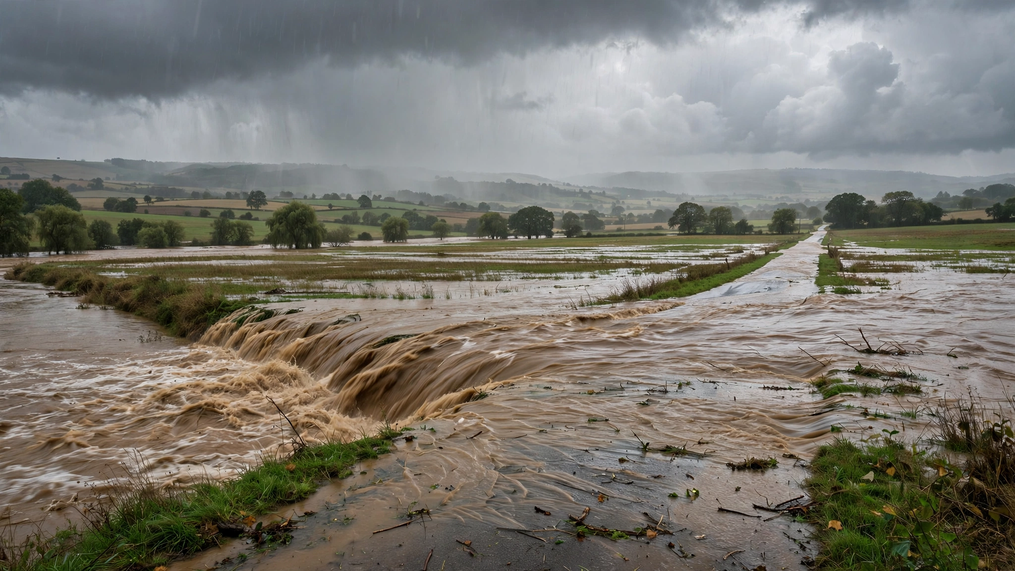
River flooding occurs when a river or stream overflows its natural banks and inundates normally dry land. It is most common in early spring, and can result from heavy rainfall, rapidly melting snow, or ice jams that block a river’s flow. A river is a channel with a limit. When more water arrives than the channel can carry, the extra water spreads across the surrounding land, which is called the floodplain.
The scale can be enormous. According to a 2018 study cited by the NRDC, more than 40 million people in the United States are at risk from flooding along rivers and streams. A single episode can cause damage across several states. In 2019, intense spring flooding swelled the Arkansas, Mississippi and Missouri rivers, topping or damaging hundreds of miles of levees, destroying homes and soaking farmland. The National Oceanic and Atmospheric Administration put the damage from inland flooding that year at 20 billion dollars. A river flood is slow, wide and relentless, and it can last for weeks.
Coastal Flooding: The Sea Comes Ashore
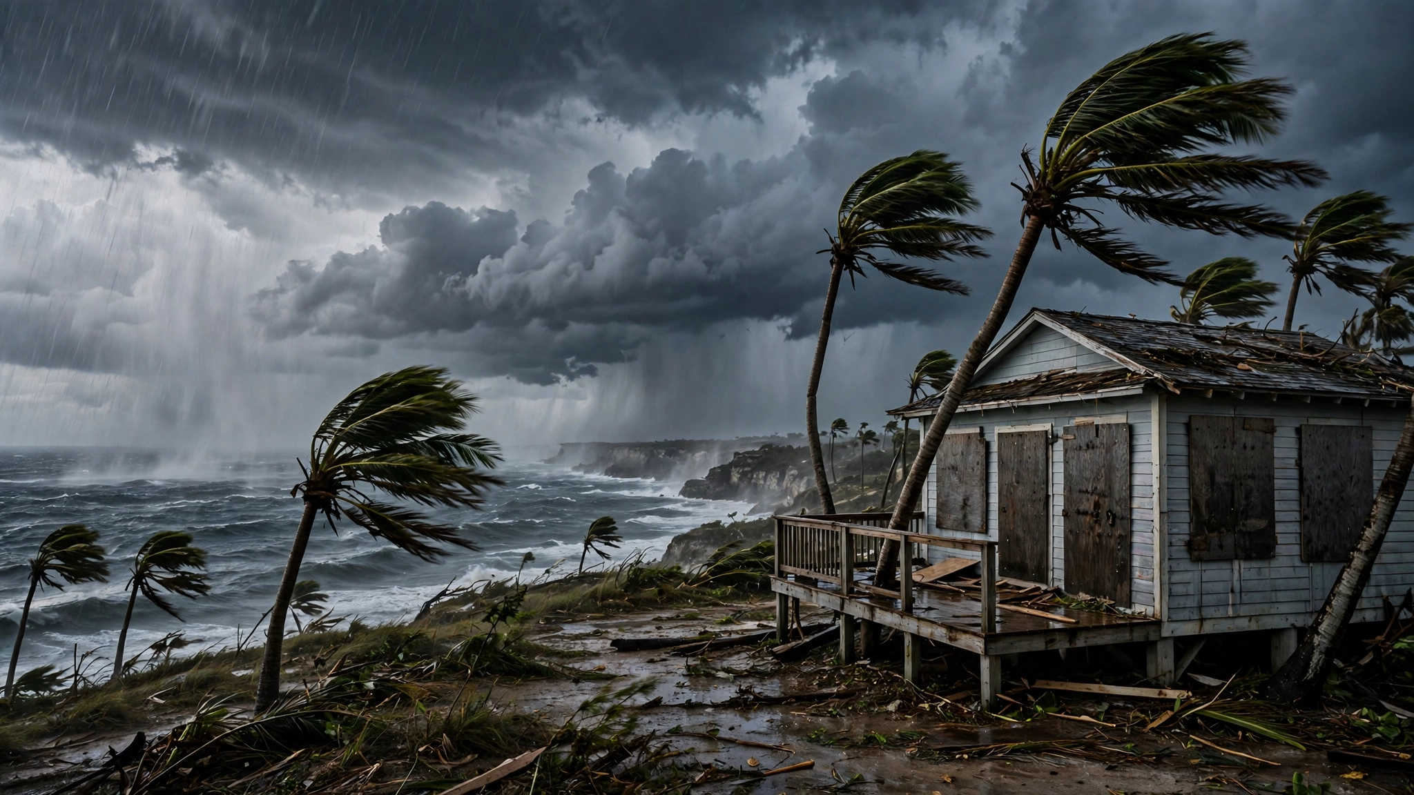
Coastal flooding happens when winds from a coastal storm, such as a hurricane or a nor’easter, push a storm surge, essentially a wall of water, from the ocean onto land. A storm surge can produce widespread devastation, as it did around New York and New Jersey when Hurricane Sandy arrived during high tide. The surge arrives with the storm, at the worst possible moment, when wind and rain are already at their strongest.
There is also a quieter form of coastal flooding. Higher sea levels are causing increasing numbers of shallow, non-deadly floods, known as high tide floods, nuisance floods or sunny day floods, when the sea washes over roads and into storm drains as the daily tides roll in. More than half of the population of the United States lives or works in areas susceptible to coastal flooding, according to figures cited by the NRDC. As seas rise, the line between land and sea moves, and places that rarely flooded begin to flood on ordinary high tides.
Flash Floods: Fast, Sudden And Deadly
Flash floods are quick-rising floods, most often caused by heavy rains over a short period, usually six hours or less. They can happen anywhere, and low-lying areas with poor drainage are particularly vulnerable. They can also be caused by dam or levee breaks, or by the sudden overflow of water due to a debris or ice jam.
Flash floods combine the hazards of a flood with speed and unpredictability, and that is why they are responsible for the greatest number of flood-related deaths. Water that rises in minutes gives people almost no time to escape, and it can turn a dry stream bed, a road underpass, or a narrow valley into a deadly torrent. In late 2022 and early 2023, California was hit by deadly flash floods during powerful winter atmospheric rivers, streams of moist air from the tropics that dump enormous amounts of rain. A flash flood does not wait for permission. It arrives, and it is already too late to outrun it on foot.
Urban Flooding: Too Much Rain, Nowhere To Go
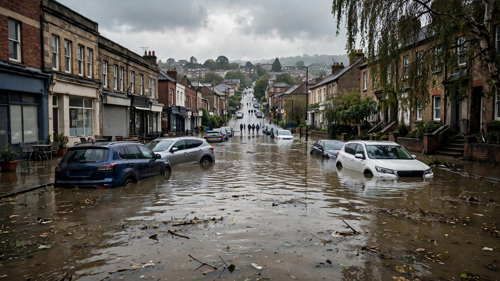
Urban flooding is flooding that occurs when rainfall, not an overflowing body of water, overwhelms the stormwater drainage capacity of a densely populated area. In a city, much of the ground is covered by roads, pavements, car parks and roofs. Rain cannot soak into concrete. It runs off, gathers in streets, and overwhelms drains that were built for smaller storms.
In 2021, Hurricane Ida, strengthened by warm air, shattered records across the north-east of the United States. In New York City, the deluge made rivers of impermeable streets and subway stations. Eleven people living in basement-level apartments drowned as flood water, with nowhere else to go, swiftly overwhelmed below-ground spaces. Urban flooding is a human-made problem as much as a natural one. The city itself, with its hard surfaces and crowded basements, turns rain into a trap.
How Land Use Makes Flooding Worse
The way land is used plays a large part in flooding. Increased urbanisation adds impermeable surfaces, such as roads and parking lots, altering natural drainage systems. Water that once soaked into soil now runs off at once, arriving in rivers and drains in a sudden rush. Areas can be especially prone to flooding when stormwater infrastructure is not maintained, or when homes are built in areas susceptible to flooding, known as floodplains.
Floodplains are the flat lands beside rivers that flood naturally. Building homes, businesses and roads on them puts people and property directly in the water’s path. Levees and dams can protect floodplain communities for a time, but when they are overtopped or fail, the flooding is often worse, because the water arrives suddenly and the land behind the barrier is low. Managing rivers with dams, levees and reservoirs helps in many ways, but it also changes how water moves, and a managed river can still flood when its limits are exceeded.
Heavier Rain In A Warming World
Climate change does not cause every flood, but it increases the risk of many of them. The Intergovernmental Panel on Climate Change has found that climate change has detectably influenced several variables that contribute to floods, such as rainfall and snowmelt. While a warming world may not be the only or most direct cause of any given flood, it exacerbates many of the factors that increase flood risk.
The mechanism is straightforward. A warmer atmosphere holds more water, and then dumps more water when it rains. As the planet has warmed by 1.9 degrees Fahrenheit since the pre-industrial era, the United States has become about 4 percent wetter, according to the federal Climate Science Special Report cited by the NRDC. Heavy precipitation events are projected to increase by 50 percent to as much as three times the historical average in this century. In regions with seasonal snow, hotter temperatures can trigger rain-on-snow events, with warm rains causing faster and earlier melting. More water, falling faster, is the recipe for more floods.
Stronger Storms And Higher Seas
Climate change is also increasing the frequency of the strongest storms, which bring greater rains, including in places not known for flooding. Future hurricanes are expected to be as much as 37 percent wetter near their centres, and about 20 percent wetter as much as 60 miles away, according to the IPCC, as cited by the NRDC. The rating system used to categorise storms is based solely on wind speed, not rainfall, so even unrated storms can unleash lethal amounts of water.
Higher seas add to the risk. As ocean temperatures rise and glaciers and ice sheets melt, global sea levels are rising, directly contributing to coastal flooding. According to the Fourth National Climate Assessment, the oceans are approximately seven to eight inches higher than they were in 1900. The IPCC predicts seas will rise anywhere from just under one foot to more than three and a half feet above 2000 levels by the end of the century. Higher seas mean higher storm surges, more high tide flooding, and a coastline that retreats, year by year, into places people live.
Why Flood Risk Maps Can Mislead
Knowing where floods are likely is essential, and in the United States that information comes from the Federal Emergency Management Agency, or FEMA, which produces maps of flood zones. High-risk areas, often called floodplains, have a 1 percent, or 1 in 100, chance of being inundated by river or stream floodwater of a certain size in any given year. The term 100-year flood refers to this chance. It does not mean a flood expected once every 100 years.
That distinction matters. A 1 in 100 chance each year means about a 1 in 5 chance that a home will flood at some point over the life of a 30-year mortgage. And properties in moderate- to low-risk areas still account for more than 20 percent of flood insurance claims, so a low-risk label is not a guarantee of safety. Nearly 60 percent of FEMA’s maps are out of date, some by decades, and the maps typically do not account for sea level rise or climate change. A map is a guide, not a promise.
Who Suffers Most From Floods
Floods do not strike everyone equally. Repairing and replacing flood-damaged roads, bridges, utilities and other infrastructure carries enormous costs. Between 2007 and 2017, the National Flood Insurance Program paid an average of 2.9 billion dollars per year to cover flood-related losses. Flood water also brings contamination and disease, carrying raw sewage, toxic chemicals and runoff from hazardous waste sites and factory farms, polluting drinking water and causing infections.
It is most often lower-income people, people experiencing homelessness, older people, and communities of colour who suffer the greatest harm, the NRDC notes. These populations are least likely to have flood insurance, access to transport during evacuation, cash on hand, or the ability to relocate, and past and present inequities mean they are more likely to be in harm’s way. Understanding flood causes therefore means understanding fairness too: the water falls on everyone, but the damage falls hardest on those with the fewest resources to recover.
Can Floods Be Prevented
Entirely preventing floods is not possible. Rain will fall, rivers will rise, and seas will surge. But steps can lessen their devastation, such as flood-proofing homes, taking personal safety precautions, and pressing governments to update flood maps, maintain drainage, protect floodplains, and cut the emissions that warm the planet. Knowing the causes is the first step. Acting on them, in building, planning and policy, is the second.
For readers, the lesson is practical. If you live near a river, a coast, or low ground, find out your flood risk, and do not rely only on an old map. If heavy rain is forecast, remember that water can rise in minutes, that city streets can flood without a river nearby, and that a 100-year flood can happen twice in a decade. A flood is water in the wrong place. Keeping people out of that place, and keeping water out of people’s homes, is the work of preparation, planning and honesty about risk.
You may also like
Frequently Asked Questions
What causes floods?
A flood is the accumulation of water over normally dry land, typically caused by the overflow of coastal or inland waters such as rivers and streams, or by an unusual accumulation of water from heavy or prolonged rains, storm surges, or sudden snowmelt. Human choices also play a role: dams, levees and reservoirs change how rivers move, and increased urbanisation adds impermeable surfaces such as roads and parking lots that alter natural drainage. When more water arrives than the land, river or drains can handle, the extra water spreads across normally dry land.
What are the main types of floods?
The main types are river flooding, when a river overflows its banks, often after heavy rain, snowmelt or ice jams; coastal flooding, when storm winds push a wall of sea water called a storm surge onto land, or when high tides flood low areas as seas rise; flash floods, quick-rising floods caused by heavy rain over six hours or less, or by dam, levee or debris breaks, which cause the greatest number of flood deaths; and urban flooding, when rainfall overwhelms the drainage capacity of a densely populated area with hard surfaces that cannot absorb water.
How does climate change cause more flooding?
Climate change increases flood risk mainly by making rain heavier and seas higher, although it is not the only cause of any single flood. A warmer atmosphere holds and then dumps more water, and the United States has become about 4 percent wetter as the planet warmed by 1.9 degrees Fahrenheit since the pre-industrial era, with heavy precipitation events projected to increase sharply this century. Future hurricanes are expected to be much wetter near their centres, and sea level rise, with oceans seven to eight inches higher than in 1900, amplifies storm surges and high tide flooding along coasts.
Why do cities flood even without a river nearby?
Cities flood without a river because urban flooding happens when rainfall overwhelms storm drains in a densely populated area, not when a river overflows. Roads, pavements, car parks and roofs are impermeable, so rain cannot soak in and instead runs off at once, gathering in streets and overwhelming drains built for smaller storms. In 2021, Hurricane Ida’s deluge turned New York City streets and subway stations into rivers, and eleven people in basement apartments drowned as flood water overwhelmed below-ground spaces that had nowhere for the water to go.
What does a 100-year flood actually mean?
A 100-year flood does not mean a flood expected once every 100 years, but a flood with a 1 percent, or 1 in 100, chance of happening in any given year, based on FEMA flood maps for high-risk floodplain areas. That 1 in 100 annual chance means about a 1 in 5 chance that a home will flood at some point over a 30-year mortgage, and properties in moderate- to low-risk areas still account for more than 20 percent of flood insurance claims. Nearly 60 percent of FEMA’s maps are out of date and typically do not account for sea level rise, so a low-risk label is not a guarantee of safety.
Sources
- Natural Resources Defense Council (NRDC) — https://www.nrdc.org/stories/flooding-and-climate-change-everything-you-need-know